
Importe total (1 artículo artículos):
Destino del pedido:

wyoming recreation map de benchmark maps (3 resultados)
Comentarios
Ir a los resultados principales
Filtros de búsqueda
Tipo de artículo
- Todos los tipos de productos
- Libros (2)
- Revistas y publicaciones (No hay ningún otro resultado que coincida con este filtro.)
- Cómics (No hay ningún otro resultado que coincida con este filtro.)
- Partituras (No hay ningún otro resultado que coincida con este filtro.)
- Arte, grabados y pósters (No hay ningún otro resultado que coincida con este filtro.)
- Fotografías (No hay ningún otro resultado que coincida con este filtro.)
- Mapas (1)
- Manuscritos y coleccionismo de papel (No hay ningún otro resultado que coincida con este filtro.)
Condición Más información
- Nuevo (2)
- Como nuevo, Excelente o Muy bueno (No hay ningún otro resultado que coincida con este filtro.)
- Bueno o Aceptable (1)
- Regular o Pobre (No hay ningún otro resultado que coincida con este filtro.)
- Tal como se indica (No hay ningún otro resultado que coincida con este filtro.)
Encuadernación
- Todas
- Tapa dura (No hay ningún otro resultado que coincida con este filtro.)
- Tapa blanda (No hay ningún otro resultado que coincida con este filtro.)
Más atributos
- Primera edición (No hay ningún otro resultado que coincida con este filtro.)
- Firmado (No hay ningún otro resultado que coincida con este filtro.)
- Sobrecubierta (No hay ningún otro resultado que coincida con este filtro.)
- Con imágenes (No hay ningún otro resultado que coincida con este filtro.)
- No impresión bajo demanda (3)
Idioma (1)
Precio
- Cualquier precio
- Menos de EUR 20
- EUR 20 a EUR 45
- Más de EUR 45 (No hay ningún otro resultado que coincida con este filtro.)
Gastos de envío gratis
- Envío gratis a Espańa (No hay ningún otro resultado que coincida con este filtro.)
Ubicación del vendedor
Valoración de los vendedores
-

Wyoming Recreation Map
Librería: Majestic Books, Hounslow, Reino Unido
Calificación del vendedor: 5 de 5 estrellas

EUR 13,93
Convertir monedaEUR 10,27 gastos de envío desde Reino Unido a EspańaCantidad disponible: 1 disponibles
Ańadir al carritoCondición: New. Benchmark Maps Ilustrador.
-
Wyoming Recreation Map - The Cowboy State!
Librería: Revaluation Books, Exeter, Reino Unido
Calificación del vendedor: 5 de 5 estrellas
Mapa
EUR 22,06
Convertir monedaEUR 11,60 gastos de envío desde Reino Unido a EspańaCantidad disponible: 1 disponibles
Ańadir al carritomap. Condición: Brand New. Benchmark Maps Ilustrador. 2 pages. 4.25x0.20x9.00 inches. In Stock.
-
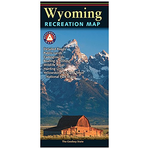
Wyoming Recreation Map (Benchmark Maps)
Publicado por Natl Geographic Society Maps, 2016
ISBN 10: 0783499213 ISBN 13: 9780783499215
Idioma: Inglés
Librería: SecondSale, Montgomery, IL, Estados Unidos de America
Calificación del vendedor: 4 de 5 estrellas

EUR 10,74
Convertir monedaEUR 30,62 gastos de envío desde Estados Unidos de America a EspańaCantidad disponible: 1 disponibles
Ańadir al carritoCondición: Good. Item in good condition. Textbooks may not include supplemental items i.e. CDs, access codes etc.