
Artículos relacionados a Philip's Star Chart
Sinopsis
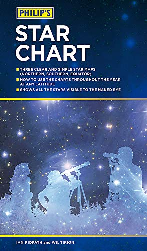
Three clear and simple star maps explain the night skies visually
Charts of the Northern Hemisphere, the Southern Hemisphere and the Equatorial Region How to use the charts throughout the year at any latitude Shows all the stars visible to the naked eye Also features charts of the major constellations, star clusters and nebulae"Sinopsis" puede pertenecer a otra edición de este libro.
Acerca del autor
Philip's has been at the forefront of creating maps and atlases since 1834. Whether a local street map or a fact-packed World Atlas, we use the most up-to-date technology, expertise and our global network to ensure our customers have all the information they need.
"Sobre este título" puede pertenecer a otra edición de este libro.
Resultados de la búsqueda para Philip's Star Chart

Imagen de archivo
Philip's Star Chart (Philips Maps)
Librería: Revaluation Books, Exeter, Reino Unido
Calificación del vendedor: 5 de 5 estrellas

Paperback. Condición: Brand New. 9.21x4.88x0.47 inches. In Stock. Nº de ref. del artículo: zk1849074879
Comprar nuevo
EUR 18,24
Envío por EUR 11,98
Se envía de Reino Unido a Estados Unidos de America
Se envía de Reino Unido a Estados Unidos de America
Cantidad disponible: 1 disponibles