Artículos relacionados a Maps in the Atlases of the British Library: A Descriptive...
Sinopsis
Although there are catalogues of individual maps in The British Library, up to now there has been no thorough listing of the maps in the Library's large collection of atlases. This considerable study describes the map contents of over 3300 pre-1800 atlases, including general works of geography, history, and travel which contain nine or more maps. English material predominates, but the Library's holdings of Dutch, French and German atlases are substantial; there are also many atlases from other European countries, as well as those of Arabic, Persian and Oriental origin. Over 100 atlases are composite in nature, often preserving rare material not found elsewhere. Details of atlas publication, provenance, colour and binding are provided, together with itemization of each map, cross references and scholarly source material.
"Sinopsis" puede pertenecer a otra edición de este libro.
Reseńa del editor
Although there are catalogues of individual maps in The British Library, up to now there has been no thorough listing of the maps in the Library's large collection of atlases. This considerable study describes the map contents of over 3300 pre-1800 atlases, including general works of geography, history, and travel which contain nine or more maps. English material predominates, but the Library's holdings of Dutch, French and German atlases are substantial; there are also many atlases from other European countries, as well as those of Arabic, Persian and Oriental origin. Over 100 atlases are composite in nature, often preserving rare material not found elsewhere. Details of atlas publication, provenance, colour and binding are provided, together with itemization of each map, cross references and scholarly source material.
"Sobre este título" puede pertenecer a otra edición de este libro.

EUR 393,24
EUR 35,63 gastos de envío desde Estados Unidos de America a Espańa
Destinos, gastos y plazos de envíoResultados de la búsqueda para Maps in the Atlases of the British Library: A Descriptive...
Imagen del vendedor
Maps in the Atlases of the British Library: A Descriptive Catalogue c. AD 850 - 1800
Publicado por
British Library, London, 2004
ISBN 10: 0712347992
ISBN 13: 9780712347990
Antiguo o usado
Tapa dura
Librería: Argosy Book Store, ABAA, ILAB, New York, NY, Estados Unidos de America
Calificación del vendedor: 5 de 5 estrellas
![]()
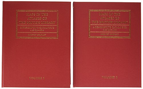
hardcover. Condición: fine. 2 volumes. Vol. 1: 1,052 pages, Vol. 2: 1,923. Large, tall 4to, red cloth with guilt titles. Vol 2 has slight corner bump. London: British Library, 2004. A fine set of volumes. Index CD in back of Vol. 2. Nş de ref. del artículo: 328246
Cantidad disponible: 1 disponibles