Artículos relacionados a Southport (East) 1909: Lancashire Sheet 75.10 (Old...

- EditorialAlan Godfrey Maps
- Año de publicación1995
- ISBN 10 085054761X
- ISBN 13 9780850547610
- EncuadernaciónMapa
Comprar nuevo
Ver este artículo
Gastos de envío:
EUR 35,50
De Reino Unido a Estados Unidos de America
Los mejores resultados en AbeBooks
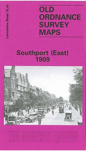
Southport (East) 1909: Lancashire Sheet 75.10 (Old O.S. Maps of Lancashire)
Descripción No Binding. Condición: New. No Jacket. Here are the details of maps for Southport East: Lancashire Sheet 75.10 Southport (East) 1909 - published 1995; intro by Nick Burton. ISBN.978-0-85054-761-0 This detailed map covers the eastern part of Southport, with coverage extending from Scarisbrick Street eastward to High Park Road, and from Rawlinson Road southward to Forest Road. Features include the approaches to Chapel Street station, with engine shed and goods station, St Luke's station, Central station, Meols Cop station (part of Hesketh Park station is at top of map); other features include All Soul's church, Health Depot, High Park area, Holy Trinity church, tramways, Glaciarium, and countless streets of housing on a largely residential map. We include a good selection of street directory entries on the reverse. The map links up with Lancashire Sheets 75.06 Southport North to the north and 75.09 Central Southport to the west. Nº de ref. del artículo: 000624

