
Importe total (1 artículo artículos):
Destino del pedido:

southport 1909 lancashire sheet de burton nick (3 resultados)
Ir a los resultados principales
Tipo de artículo
- Todo tipo de artículos
- Libros (1)
- Revistas y publicaciones
- Cómics
- Partituras
- Arte, grabados y pósters
- Fotografías
- Mapas (2)
-
Manuscritos y
coleccionismo de papel
Condición
Encuadernación
- Todo
- Tapa dura
- Tapa blanda (1)
Más atributos
- Primera edición
- Firmado
- Sobrecubierta
- Con imágenes del vendedor
- Sin impresión bajo demanda
Ubicación del vendedor
Valoración de los vendedores
-
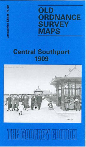
Central Southport 1909: Lancashire Sheet 75.09 (Old O.S. Maps of Lancashire)
Publicado por Alan Godfrey Maps, 1995
ISBN 10: 0850547547ISBN 13: 9780850547542
Librería: WorldofBooks, Goring-By-Sea, WS, Reino Unido
Valoración del vendedor:

Libro
Paperback. Condición: Good. The book has been read but remains in clean condition. All pages are intact and the cover is intact. Some minor wear to the spine.
-
Central Southport 1909: Lancashire Sheet 75.09 (Old O.S. Maps of Lancashire)
Publicado por Alan Godfrey Maps, 1995
ISBN 10: 0850547547ISBN 13: 9780850547542
Librería: GENERATIONS GONE BY, Manchester, Reino Unido
Valoración del vendedor:
Mapa
No Binding. Condición: New. No Jacket. Here are the details of maps for Southport: Lancs 75.09a Central Southport 1892 - published 2020; intro by Alan Godfrey. ISBN.978-1-78721-303-6 Lancs 75.09b Central Southport 1909 - published 1995; intro by Nick Burton. ISBN.978-0-85054-754-2 We have published two versions of this map, showing how the area changed across the years. The 1892 version is in full colour, taken from the beautiful 1st Edition OS handcoloured map. The maps cover the central area of Southport, with coverage extending from Westcliffe Road northward to Avondale Road, and from Chapel Street station westward to the shore. The many features include the pier, Marine Drive, Chapel Street station, Lord Street station, Victoria Park, Market Hall, tramways, recreation ground, Opera House, Convalescent Hosptial, Hydro, Victoria Baths, Lord Street, St Paul's church, St Andrew's church, Town Hall, hotels, Christ Church, Winter Gardens etc. Sheet 75.05 to the north is included on the 1892 map as a backing map. On the reverse of the 1909 map we include an extract from an Inch to the Mile map for the area, covering Southport northward to Lytham, and southward to Formby, from the mid 19th century. The map links up with Lancashire Sheets 75.10 Southport East to the east and 75.13 Birkdale to the south.
-
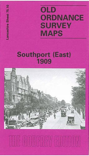
Southport (East) 1909: Lancashire Sheet 75.10 (Old O.S. Maps of Lancashire)
Publicado por Alan Godfrey Maps, 1995
ISBN 10: 085054761XISBN 13: 9780850547610
Librería: GENERATIONS GONE BY, Manchester, Reino Unido
Valoración del vendedor:
Mapa
No Binding. Condición: New. No Jacket. Here are the details of maps for Southport East: Lancashire Sheet 75.10 Southport (East) 1909 - published 1995; intro by Nick Burton. ISBN.978-0-85054-761-0 This detailed map covers the eastern part of Southport, with coverage extending from Scarisbrick Street eastward to High Park Road, and from Rawlinson Road southward to Forest Road. Features include the approaches to Chapel Street station, with engine shed and goods station, St Luke's station, Central station, Meols Cop station (part of Hesketh Park station is at top of map); other features include All Soul's church, Health Depot, High Park area, Holy Trinity church, tramways, Glaciarium, and countless streets of housing on a largely residential map. We include a good selection of street directory entries on the reverse. The map links up with Lancashire Sheets 75.06 Southport North to the north and 75.09 Central Southport to the west.