Descripción
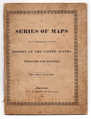
Sm 4to (9.5" x 7"), printed paper over boards. 8 engraved maps (3 double-sheet and 5 single-sheet). CONDITION: Very good, covers lightly foxed and worn at extremities, paper chipped at outer hinge. First abridged edition of the first historical atlas of the United States by pioneering educator Emma Willard, who, in promoting the power of visual learning, became the country s first female map maker. The first map in this volume, designated the "Introductory Map," presents the "Locations and Wanderings of the Aboriginal Tribes." The second, which begins the numbered series, represents the year 1578. It shows numerous ships approaching the east coast of North America, and includes a vignette in the upper left captioned"Queen Elizabeth Signs for Sir Humphrey Gilbert The first patent granted by an English Sovereign to lands within The territory of the United States." Subsequent maps for the years 1620, 1643, 1692, 1733, 1763, and 1776 include several more pictorial vignettes of historic milestones, as well as larger-scale inset maps. Willard s "Introductory Map" was the first of its kind to depict tribal migration over several centuries. By placing it outside the numbered series, however, Willard "reinforced the contemporary assumption that Native Americans existed in a timeless space prior to human history" and "established a pattern replicated by historians throughout the century [of] mapping Natives as part of the nation s natural landscape rather than its political history" (Mapping, pp. 25, 26). Willard s intense nationalism meant that for her, American history began with Columbus and led inexorably towards the foundation of the United States. This supposedly natural trajectory was based in her idea that "territorial sovereignty formed the foundation of history," (Emma Willard, p. 60) and it is further reinforced by the outlines of states in the "Introductory Map" and the steadily fading Native American presence in subsequent maps. The full atlas, which was first published in 1828, accompanied Willard s History of the United States, or Republic of America: Exhibited in Connexion with Its Chronology and Progressive Geography by Means of a Series of Maps. The History became one of Willard s longest-lived texts, republished almost every year through the 1860s, and was first abridged in 1831. Together, the History and the Series of Maps put into practice her revolutionary recognition of the interdependence between geography and history. As she put it, "the event fixes the recollection of the place, no less than the place of the event" (Mapping, p. 23). Emma Willard (née Hart, 1787 1870) was born in Berlin, Connecticut, where she began teaching as a teenager. In 1807 she moved to Middlebury, Vermont, to teach at a small girl s school; however, frustrated with the limited subjects available to female students and somewhat unpopular for her attempts to broaden her students education, in 1814, recently married to Dr. John Willard, she founded her own boarding school, known as Middlebury Female Seminary, in her home. Determined to prove that women were equally capable of mastering the subjects studied by men, Willard began teaching her students the same subjects studied by her nephew, a student at nearby Middlebury College. She soon developed a proposal for elevating female education by means of public funding, but after being rebuffed by Vermont lawmakers, moved to New York State, where, with legislative support, she founded the Troy Female Seminary in 1821. This was the first school in the country to offer women an education comparable to that of college-going men, and it soon became "a preeminent school for future teachers and one of the country s finest institutions of female education" (Schulten, p. 18). After retiring from its management in 1838, Willard continued to lecture and publish widely. Her work inspired a movement that brought higher education to women throughout America and even abroad. REFERENCES: Schulten, Susan. Map. N° de ref. del artículo 7608
Contactar al vendedor
Denunciar este artículo
![]()


