Descripción
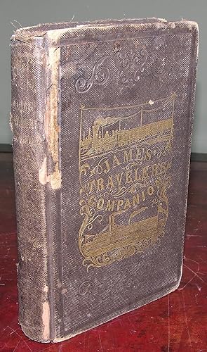
8vo., (6 1/8 x 4 1/8). Folding frontispiece "Map of the Mississippi River," 2 copies present (slightly toned), folding "Map of the Ohio River" (separating along fold), 2 full-page maps, one in-text map (one or two spots), 6 in-text illustrations. Original publisher's brown cloth, the front cover and spine decorated and lettered in gilt, rear cover stamped in blind (extremities worn with loss). Provenance: Contemporary manuscript ownership inscription of William McNeice to front free endpaper. First edition. "We have endeavored to make a book that will merit reading; and be what its name indicates, a pleasing companion for the traveler; - a book that will not only give him the name and location of places along the principal thoroughfares, but will abound with incidents of a noel and entertaining character, which he will wish to remember, and delight to read. Besides, the character of the soil, resources, present and future prospects, together with the past history of most places in the Mississippi Valley, and along the Gulf and Lake shores, pass in review before the reader. All of the principal routes in the West, South, and North, together with those leading from thence to the East, are fully and correctly given" (from the Preface). This copy mistakenly includes two copies of the map of the Mississippi River. One of the rarer mid-19th century travel guides. N° de ref. del artículo 72MMS67
Contactar al vendedor
Denunciar este artículo
![]()

