Descripción
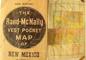
_____Full color map, 21.25 x 13.75", folded into card covers 5.5 x 2.5". _____ ._____Scaled 30 miles to the inch, it shows all the counties and towns, with populations given for the 1900 census. _____ The routes of railroads in the state are keyed to an overprinted list of 14 companies: Alamagordo & Sacramento Mountain, Arizona & New Mexico, ATSF, Chicago Rock Island & El Paso, Colorado & Southern, Dawson, Denver Rio Grande, El Paso & Northeastern, El Paso & Rock Island, El Paso & Southwestern, Pecos Valley & North-eastern, Rio Grande & Pagosa Springs, Santa Fe Central and the Southern Pacific._____ Most are also cited as handling Wells, Fargo & Co Express, though one is the line of the United States Express Co. _____ The index on the rear lists: counties, towns, Indian reservations, military reservations, land grants, rivers, creeks, springs and lakes. _____ The covers are moderately worn. _____ A couple of the internal fold corners are just splitting._____. N° de ref. del artículo 25582
Contactar al vendedor
Denunciar este artículo
![]()


