Descripción
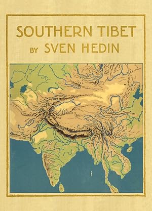
-Volume 1: XVIII, 293 pages, with 103 maps-Volume 2: XII, 330 pages, with many illustrations and 24 maps-Volume 3: XII, 369 pages, with many illustrations and 31 maps-Volume 4: XII, 428 pages, with more than 200 illustrations-Volume 5: 220 pages, with 21 figures and 11 plates, 2 geographical maps-Volume 6: Part 1: XVI, 134 pages, Part 2: IV, 86 pages, Part 3: XII, 196 pages,with many statistics and 11 botanical plates-Volume 7: XII, 605 pages, with 103 maps and plates, 20 illustrations-Volume 8: XVIII, 456 pages, with 4 general maps, 40 historical maps, 8 folded maps-Volume 9: X pages, Part 1 - 3: 180 pages, Part 4 - 5: 176 pageswith more than 20 plates, some coloured and folded-Volume 10:Maps 1: II, IV pages text, 25 general maps of Eastern Turkestan, 26 coloured maps of the journey in Eastern TurkestanMaps 2 : VI pages, 52 coloured hyprosometrical maps of Southern Tibet-Volume 11: VI, 105 pages, with 105 panoramas --- Sven Hedin:Southern TibetDiscoveries in former times compared with my own researches in 1906-1908Volume 1 - 9, 2 Volumes Maps, 1 Volume Atlas Volume 1: Lake Manasarovar and the sources of the Great Indian Rivers - From the remotest antiquity to the end of the eighteenth centuryVolume 2: Lake Manasarovar and the sources of the Great Indian Rivers - From the end of the eighteenth century to 1913Volume 3: TranshimalayaVolume 4: Kara-Korum and Chang-TangVolume 5: Petrographie und Geologie von Anders HennigVolume 6:Part 1: Die Meteorologischen Beobachtungen, bearbeitet von Nils EkholmPart 2: Les Observations astronomiques, calculées et rédigées par K.G. OlssonPart 3: Botany, by C. H. OstenfeldVolume 7: History of exploration in the Kara-Korum MountainsVolume 8: Part 1: The Tsung-Ling Mountains by Sven Hedin and Albert Herrmann; Part 2: Die Westländer in der Chinesischen Kartugraphie von Albert Herrmann; Part 3: Zwei Osttürkische Manuskriptkarten, unter Mitwirkung von Albert v. Le Coq, herausgegeben von Albert Herrmann; Part 4: Chinesische Umschreibungen von älteren geographischen Namen, zusammengestellt von Albert HerrmannVolume 9: Part 1: Journeys in Eastern Pamir by Sven Hedin; Part 2: Osttürkische Namenliste von Albert von Le Coq; Part 3: Zur Geologie von Ost-Pamir. Auf Grundlage der von Sven Hedin gesammelten Gesteinsproben, von Bror Asklund; Part 4: Eine Chinesische Beschreibung von Tibet, vermutlich von Julius Klaproth. Nach Amiots Übersetzung bearbeitet. Herausgegeben von Erich Hänisch. Das Goldstromland im Chinesisch-Tibetischen Grenzgebiete. Nach dem großen Kriegswerk von Jahre 1781 dargestellt von Erich Hänisch; Part 5: General IndexVolume 10: Maps, Part 1 and 2 Volume 12: Atlas of Tibetan Panoramas (reduced in size 20 %) Verlagsfrischer, bibliophil ausgestatteter Faksimile-Reprint:Gedruckt auf einem schönen alterungsbeständigen und säurefreien Werkdruckpapier, das den Originaleindruck am besten wiedergibt.Gebunden als robuste Bibliotheksversion in Ganzleinen mit Rückenprägung.Bibliophil ausgestattet mit rundem Rücken und Lesebändchen.Das dekorative Originaltitelblatt wurde auf dem Vorderdeckel aufgezogen. --- 44,3 x 30,5 cm, 30,5 x 22,4 cm. N° de ref. del artículo Cas0059-00
Contactar al vendedor
Denunciar este artículo
![]()
