ArtÝculos relacionados a Duisburg & Ruhrort 1944: Duisburg Sheet 2 (Old...

- EditorialAlan Godfrey Maps
- A˝o de publicaciˇn2010
- ISBN 10 1847844154
- ISBN 13 9781847844156
- EncuadernaciˇnMapa
Comprar nuevo
Ver este artÝculo
EUR 4,23
Gastos de envÝo:
EUR 35,66
De Reino Unido a Estados Unidos de America
Los mejores resultados en AbeBooks
Imagen de archivo
Duisburg & Ruhrort 1944: Duisburg Sheet 2 (Old Maps of the Rhineland)
Publicado por
Alan Godfrey Maps
(2010)
ISBN 10: 1847844154
ISBN 13: 9781847844156
Nuevo
Cantidad disponible: 1
Librería:
Valoraciˇn
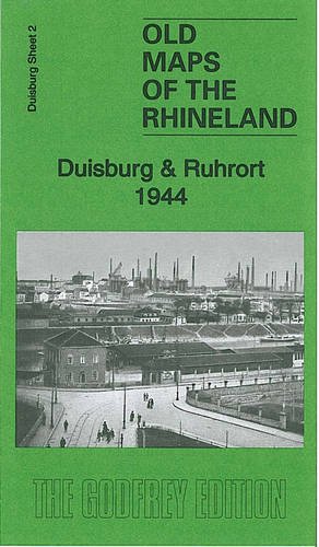
Descripciˇn No Binding. Condiciˇn: New. No Jacket. Here are the details of our map of the Ruhrort area: 2 Duisburg & Ruhrort 1944 - published 2010. Introduction in English by Alan Godfrey; German summary by Heike Hamilton This map covers the centre of Duisburg, Ruhrort, Laar and parts of Meiderich, Homberg and Beeck. Covers stretches from Duisburg Hauptbanhof northward to Beeck and westward to Hochheide. Features include the various docks at Ruhrort, the largest inland port in Europe; the harbours at Duisburg; several collieries, the major steelworks at Laar, other industries on the west side of Duisburg, railways, Duissern, Papandell, Meiderich, Laar, Kaddlerfeld, Neuenkamp, Ruhrort, Beeck, Homberg, Essenberg, Asterlagen, Hochheide, Hochhalen, River Rhein. An index names many of the factories and other large buildings. N║ de ref. del artÝculo: 006296
Comprar nuevo
EUR 4,23
Convertir moneda
Gastos de envÝo:
EUR 35,66
De Reino Unido a Estados Unidos de America
Destinos, gastos y plazos de envÝo