Artículos relacionados a Coastal zone hazards map of Puerto Rico: Hurricane...
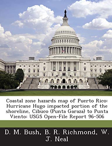
Coastal zone hazards map of Puerto Rico: Hurricane Hugo impacted portion of the shoreline, Cibuco (Punta Garaza) to Punta Viento: USGS Open-File Report 96-506 - Tapa blanda

Reseña del editor:
The United States Geological Survey (USGS) is a scientific organization created in 1879, and is part of the U.S. government. Their scientists explore our environment and ecosystems, to determine the natural dangers we are facing. The agency has over 10,000 employees that collect, monitor, and analyze data so that they have a better understanding of our problems. The USGS is dedicated to provide reliable, investigated information to enhance and protect our quality of life. This is one of their reports.
"Sobre este título" puede pertenecer a otra edición de este libro.
- EditorialBiblioGov
- Año de publicación2013
- ISBN 10 1287000673
- ISBN 13 9781287000679
- EncuadernaciónTapa blanda
- Número de páginas24
Comprar nuevo
Ver este artículo
EUR 21,74
Gastos de envío:
EUR 3,73
A Estados Unidos de America
Los mejores resultados en AbeBooks
Coastal Zone Hazards Map of Puerto Rico: Hurricane Hugo Impacted Portion of the Shoreline, Cibuco (Punta Garaza) to Punta Viento: Usgs Open-File Report 96-506
Publicado por
Bibliogov
(2013)
ISBN 10: 1287000673
ISBN 13: 9781287000679
Nuevo
Tapa blanda
Cantidad disponible: > 20
Librería:
Valoración
Descripción Condición: New. Nº de ref. del artículo: ABLING22Oct2517050410089
Comprar nuevo
EUR 21,74
Convertir moneda

