ArtĒculos relacionados a Blyth 1897: Northumberland Sheet 73.10 (Old O.S. Maps...

Light wear to the outside, map unmarked. Shipped from the U.K. All orders received before 3pm sent that weekday.
"Sinopsis" puede pertenecer a otra edici¾n de este libro.
- EditorialAlan Godfrey Maps
- A±o de publicaci¾n1992
- ISBN 10 0850545331
- ISBN 13 9780850545333
- Encuadernaci¾nMapa
Comprar nuevo
Ver este artĒculo
EUR 3,33
Gastos de envĒo:
EUR 35,79
De Reino Unido a Estados Unidos de America
Los mejores resultados en AbeBooks
Imagen de archivo
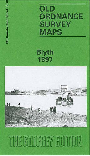
Blyth 1897: Northumberland Sheet 73.10
Publicado por
Alan Godfrey Maps
(1992)
ISBN 10: 0850545331
ISBN 13: 9780850545333
Nuevo
Cantidad disponible: 1
Librería:
Valoraci¾n
Descripci¾n No Binding. Condici¾n: New. No Jacket. Here are the details of maps for Blyth: Northumberland Sheet 73.10 Blyth 1897 - published 1992; intro by Iain Watson. ISBN.978-0-85054-533-3 This detailed map covers the town of Blyth, including the port. Most of the town is shown, including Crofton, Waterloo, Cowpen, Cowpen Quay and North Blyth. Features include the station, Market Place, staiths at North Blyth, NER New Blyth line along the Low Quay, Cowpen Colliery Mill Pit, Cowpen Colliery A Pit, Cowpen Colliery North Pit (disused) with railway, Blyth High Ferry, Crofton Mills, bottle works, East Pier, rope works. A list of private residents from an early directory is included. N║ de ref. del artĒculo: 007949
Comprar nuevo
EUR 3,33
Convertir moneda
Gastos de envĒo:
EUR 35,79
De Reino Unido a Estados Unidos de America
Destinos, gastos y plazos de envĒo