Artículos relacionados a The Earth from the Air

Reseńa del editor:
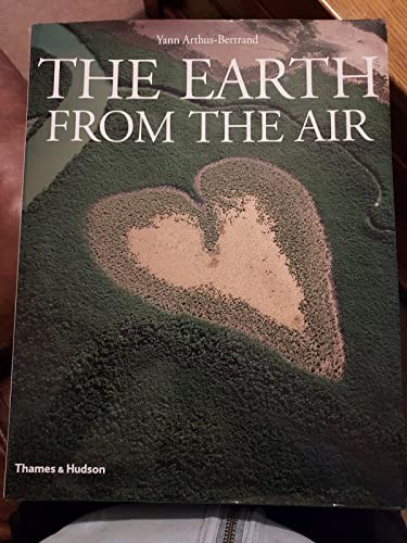
To create The Earth from the Air, the world-renowned aerial photographer Yann Arthus-Bertrand worked for more than five years, flying over sixty countries on every continent. His purpose was to provide a record of the world's environments as a benchmark for the future.
What kind of Earth will future generations inherit? How can we preserve the heritage of natural abundance that we share with past generations? These are the questions that propelled Arthus-Bertrand on his mission. The impact of population growth and technological progress on the natural equilibrium of the planer has been dramatic, particularly over the past fifty years, and the world's landscapes have been transformed as a result. Appropriately, many of Arthus-Bertrand's photographs give evidence of the imprint of human civilization on the face of the land. They are thus a record both of what has survived the mushrooming world industrial economy and of what changes it has wrought.
In views ranging from spectacular panoramas of vast geographical formations to intimate glimpses of small-scale features of the landscape, Arthus-Bertrand's photographs give a remarkable account of the Earth's surface. His probing lens portrays human settlements (from cities to desert oases), forests, grasslands, tundra, deserts, mountains, islands, coastlines, rivers and lakes in extraordinary compositions of light and form. Often taken from low altitudes, the images reveal people, animals and many other details that make a vista come alive.
The photographs are described and interpreted by a team of specialists who provide background information in many fields including history, sociology, environmental science and geography. Using the images as a window on the Earth, this fascinating book explores the state of our planer at the time of a new millennium.
"Sobre este título" puede pertenecer a otra edición de este libro.
- EditorialThames & Hudson
- Ańo de publicación2001
- ISBN 10 050001955X
- ISBN 13 9780500019559
- EncuadernaciónTapa dura
- Número de páginas414
- Valoración
Comprar nuevo
Ver este artículo
EUR 207,99
Gastos de envío:
EUR 3,96
A Estados Unidos de America
Otras ediciones populares con el mismo título
Los mejores resultados en AbeBooks
Imagen de archivo
The Earth from the Air
Publicado por
Thames and Hudson Ltd
(1999)
ISBN 10: 050001955X
ISBN 13: 9780500019559
Nuevo
Tapa dura
Cantidad disponible: 1
Librería:
Valoración
Descripción Hardcover. Condición: new. New Copy. Customer Service Guaranteed. Nş de ref. del artículo: think050001955X
Comprar nuevo
EUR 207,99
Convertir moneda
Imagen de archivo
The Earth from the Air
Publicado por
Thames and Hudson Ltd
(1999)
ISBN 10: 050001955X
ISBN 13: 9780500019559
Nuevo
Tapa dura
Cantidad disponible: 1
Librería:
Valoración
Descripción Hardcover. Condición: new. New. Nş de ref. del artículo: Wizard050001955X
Comprar nuevo
EUR 238,61
Convertir moneda
Imagen de archivo
The Earth from the Air
Publicado por
Thames and Hudson Ltd
(1999)
ISBN 10: 050001955X
ISBN 13: 9780500019559
Nuevo
Tapa dura
Cantidad disponible: 1
Librería:
Valoración
Descripción Hardcover. Condición: new. New. Fast Shipping and good customer service. Nş de ref. del artículo: Holz_New_050001955X
Comprar nuevo
EUR 241,24
Convertir moneda