Artículos relacionados a West Lewis and North Harris: Sheet 13 (Landranger Maps)

Reseńa del editor:
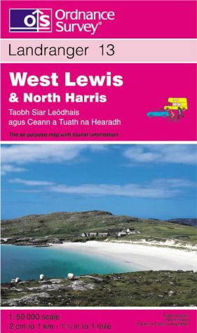
This map is part of the Landranger (Pink) series and is designed for people who really want to get to know an area. It includes the following information: tourist information, camping and caravan sites, picnic areas and viewpoints, selected places of interest and rights of way information for England and Wales. Each map in the series covers an area of 40 km by 40 km (25 miles by 25 miles) and like other Ordnance Survey maps, National Grid squares are provided so that any feature can be given a unique reference number. Perfect for planning ahead and local excursions, these maps are full of useful information that will help you really get to know an area.
Biografía del autor:
Ordnance Survey is Britain's national mapping agency, responsible for the official, definitive mapping of the whole country. They produce and market a wide range of maps for educational and leisure purposes, as well as producing computer data products for government, business and administrative use.
"Sobre este título" puede pertenecer a otra edición de este libro.
- EditorialOrdnance Survey
- Ańo de publicación1997
- ISBN 10 031922287X
- ISBN 13 9780319222874
- EncuadernaciónMapa
(Ningún ejemplar disponible)
Buscar: Crear una peticiónSi conoce el autor y el título del libro pero no lo encuentra en IberLibro, nosotros podemos buscarlo por usted e informarle por e-mail en cuanto el libro esté disponible en nuestras páginas web.
Crear una petición