Artículos relacionados a Geographic Information Systems for Geoscientists: Modelling...
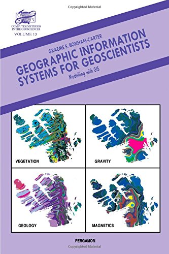
Geographic Information Systems for Geoscientists: Modelling with GIS: Vol 13 (Computer Methods in the Geosciences) - Tapa dura

Críticas:
W.C. Peters, University of Arizona Highly recommended for college libraries serving students in earth science, civil engineering, and geography. Upper-division undergraduate through professional. Choice S.J.D. Cox ...first text book on GIS directed specifically at geoscientists...an effective...introduction to GIS...will...bring explorationists up to speed on quantitative methods for mineral potential evaluation and the assistance they might get from the powerful new technology of GIS. Economic Geology ...should serve well as a textbook for GIS courses and as a reference volume for practising geoscience professionals. AMF Reviews C. Peter Keller This book is a 'must have' on the bookshelf of any geoscientist interested in digital spatial data analysis. Computers & Geosciences T.V. Loudon The book is a worthy addition to the valuable series...can be seen as required reading for many mineral explorationists, a comprehensive review of GIS concepts, a text for GIS courses, and a useful reference source in any geoscience library. Episodes R.S. Shiel For those who have never used GIS before, this text provides a readable account in a related field. It is not overly mathematical, and will appeal to those who do not wish to read the more technical texts in soil science. European Journal of Soil Science
Reseña del editor:
This valuable reference book is unique in its coverage of examples from the geological sciences, many centred on applications to mineral exploration. The underlying principles of GIS are stressed and emphasis is placed on the analysis and modelling of spatial data with applications to site selection and potential mapping. The book commences with a definition of GIS and describes a case study of mapping mineral potential. The ways in which spatial data are organized with models (raster, vector, relational) are discussed and data structures, such as quadtrees and topological structures are introduced. Data input including digitizing, geographic projections and conversions is covered together with output (visualization, representation of colour and spatial query). Spatial data transformations are dealt with thoroughly and attention is paid to map analysis and modelling as related to single maps, map pairs and multiple maps respectively. Methods of quantifying the associations between pairs of maps are emphasized. Finally, examples of landfill site selection and mineral potential mapping illustrate the application of map algebra for combining maps and tables with models, employing Boolean logic, index weighting, fuzzy logic and probability methods such as weights of evidence. There is an extensive glossary of terms, and references accompany each chapter. It contains 40 pages of colour illustrations.
"Sobre este título" puede pertenecer a otra edición de este libro.
- EditorialPergamon
- Año de publicación1995
- ISBN 10 0080418678
- ISBN 13 9780080418674
- EncuadernaciónTapa dura
- Número de páginas300
(Ningún ejemplar disponible)
Buscar: Crear una peticiónSi conoce el autor y el título del libro pero no lo encuentra en IberLibro, nosotros podemos buscarlo por usted e informarle por e-mail en cuanto el libro esté disponible en nuestras páginas web.
Crear una petición
