ArtĒculos relacionados a Bristol, Cardiff and South Wales (Regional Travel Map)

Rese±a del editor:
Rese±a del editor:
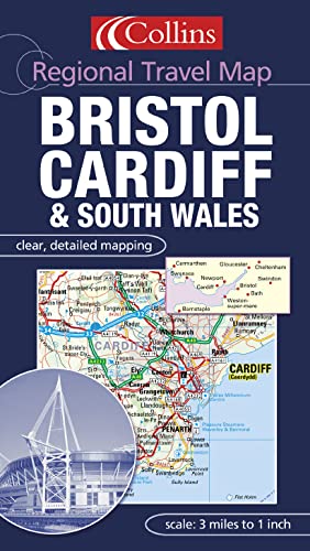
Scale: Road mapping 1:190000 3 miles to 1 inch, Urban mapping at 1:63360 1 mile to 1 inch.
One of a series of sheet maps with a combination of road mapping and detailed urban mapping plus street level town and city centre plans.
MAIN FEATURES
Brand new card covered sheet map of the area around the Severn Estuary with mapping at various scales to aid navigation. The road mapping is at 3 miles to 1 inch and is in the popular easy to use Collins style. This road mapping covers southern Wales as far west as Carmarthen and over to Swindon and Salisbury in the east. The detailed urban mapping has roads numbered and named and covers Bristol and Cardiff. There are also city and town centre plans showing street level detail.
INCLUDES
Ę 3 miles to 1 inch road mapping
Ę 1 mile to 1 inch urban mapping with roads classified and named
Ę City centre plans of Cheltenham, Swindon, Swansea, Bath, Bristol, Gloucester, Cardiff and Weston-super-Mare.
Ę Full index to place names
AREA OF COVERAGE
The road mapping extends from Brecon in the north to Salisbury in the south and from the Carmarthen in the west to Swindon in the east.
WHO THIS PRODUCT IS OF INTEREST TO
This is an ideal product for those who live, work or want to tour around this area.
This sheet map features a combination of road mapping and detailed urban mapping plus street level town and city centre plans of Cheltenham, Swindon, Swansea, Bath, Bristol, Gloucester, Cardiff and Weston-super-Mare. The area of coverage extends from Brecon in the north to Salisbury in the south and from Carmarthen in the west to Swindon in the east.
"Sobre este tĒtulo" puede pertenecer a otra edici¾n de este libro.
- EditorialCollins
- A±o de publicaci¾n2003
- ISBN 10 000716095X
- ISBN 13 9780007160952
- Encuadernaci¾nMapa
(Ning·n ejemplar disponible)
Buscar: Crear una petici¾nSi conoce el autor y el tĒtulo del libro pero no lo encuentra en IberLibro, nosotros podemos buscarlo por usted e informarle por e-mail en cuanto el libro estķ disponible en nuestras pßginas web.
Crear una petici¾n