Descripción
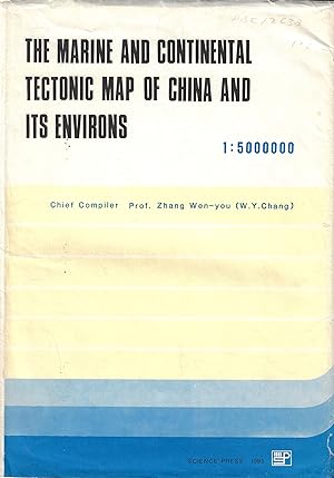
Sm. Folio The map is in 17 colours, with its interior outline 1590X1826 mm2 in size. It covers an area of 70°-160° E and 55° N-12° S on the scale of 1:5,000,000. On the basis of a large amount of information and sufficient data concerning continental geology, marine geology, Precambrian geology, geophysics and remote sensing geology in China and its environs, combining important resukts of researches on plate tectonics, the map contributes mainly to studies of the origin, development and mutual transformation of continental, transitional and oceanic crusts by the geomechanical and geohistorical analyses as well as the fault-block tectonic theory. Systematic classifications of evolution stages, tectonic cycles and structural units of marine and continental tectonic of China and its environs are presented. It provides guidance for acquisition of the distribution of mineral deposits and analysis of regional stability. The Map can serve as a reference for geological workers of the research and educational institutions, as well as production units specialized in geology, structural geology, marine geology and geophysics. Original paper envelope. In Very good condition. N° de ref. del artículo 12638
Contactar al vendedor
Denunciar este artículo
![]()

