Descripción
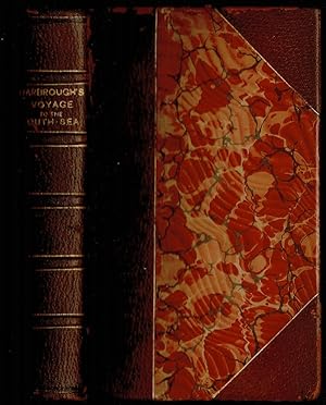
[ii],xxix,[vii],191,[1]blank, 223 pages with 1 of 3 large fold out maps and 15 of 19 engraved fold out plates. Octavo (8" x 5") bound three quarter leather with raised spine bands and gilt lettering to spine over marbled boards. Edited by Sir Tancred Robinson. Second edition, preferred over the first edition "because it has the chart of the western and southern oceans." (Hill) In 1699. First published in 1694, which contained only two maps, The book is important because it contains one of the earliest English accounts of Abel Janszoon Tasman's famous voyage of 1642 from Batavia, during which he discovered Tasmania and New Zealand and visited Tonga and Fiji (Hill 1475). Rear Admiral Sir John Narborough, RN was an English naval commander of the 17th century, who served with distinction during the Anglo-Dutch Wars and against the Barbary Coast pirates. He was descended from an old Norfolk family. He received his commission in 1664, and in 1666 was promoted lieutenant for gallantry in the action with the Dutch fleet off the Downs in June of that year. After the peace he was chosen to conduct a voyage of exploration in the South Seas. He set sail from Deptford on November 26, 1669, and entered the Straits of Magellan in October of the following year. In 1670 he visited Port Desire in Argentina and claimed the territory for the Kingdom of Great Britain, but returned home in June 1671 without accomplishing his original purpose. A narrative of the expedition was published at London in 1694 under the title An Account of several late Voyages and Discoveries to the South and North. During the Third Anglo-Dutch War Narborough was second captain of the Lord High Admiral's ship the Prince, and conducted himself with such conspicuous valor at the battle of Solebay (Southwold Bay) in May 1672 that he won special approbation, and shortly afterwards was made rear-admiral and knighted. In 1675 he was sent to suppress the Tripoline piracies, and by the bold expedient of dispatching gun-boats into the harbor of Tripoli at midnight and burning the ships he induced the them to agree to a treaty. Shortly after his return he undertook a similar expedition against the Algerians. In 1680 he was appointed commissioner of the Navy, an office he held till his death. He was buried at Knowlton church, Kent, where a monument has been erected to his memory. The island of Fernadina, the youngest and westernmost island of the Galapagos Archipelago, was originally named 'Narborough Island' in his honor by the 17th century buccaneer William Ambrosia Cowley. This work is of particular interest due to the the presence of the scarce early account of Tasman's famous voyage of 1642, in which he visited Fiji, the Solomon Islands and Tonga, discovering Tasmania and New Zealand. Extracts taken from Tasman's own journal describe this expedition. The remaining journey's are narrated in first person from unidentified journals, with the introduction remarking on 'the advantages of keeping judicious journals in voyages and itineraries' due to the 'improvement of Geography, Hydrography, Astronomy, Natural and Moral History', which these accounts can afford later readers. Condition: 1 of 3 large fold out maps and 15 of 19 engraved fold out plates. Marginal foxing, soiling and damp staining through out, paper fault across second C2 affecting one letter, some rubbing hinges and corners else a better than good copy. N° de ref. del artículo E0013z
Contactar al vendedor
Denunciar este artículo
![]()


